These are high quality scans of some of the
maps |
Some of them are similar to the ones described in the text and others are the same |
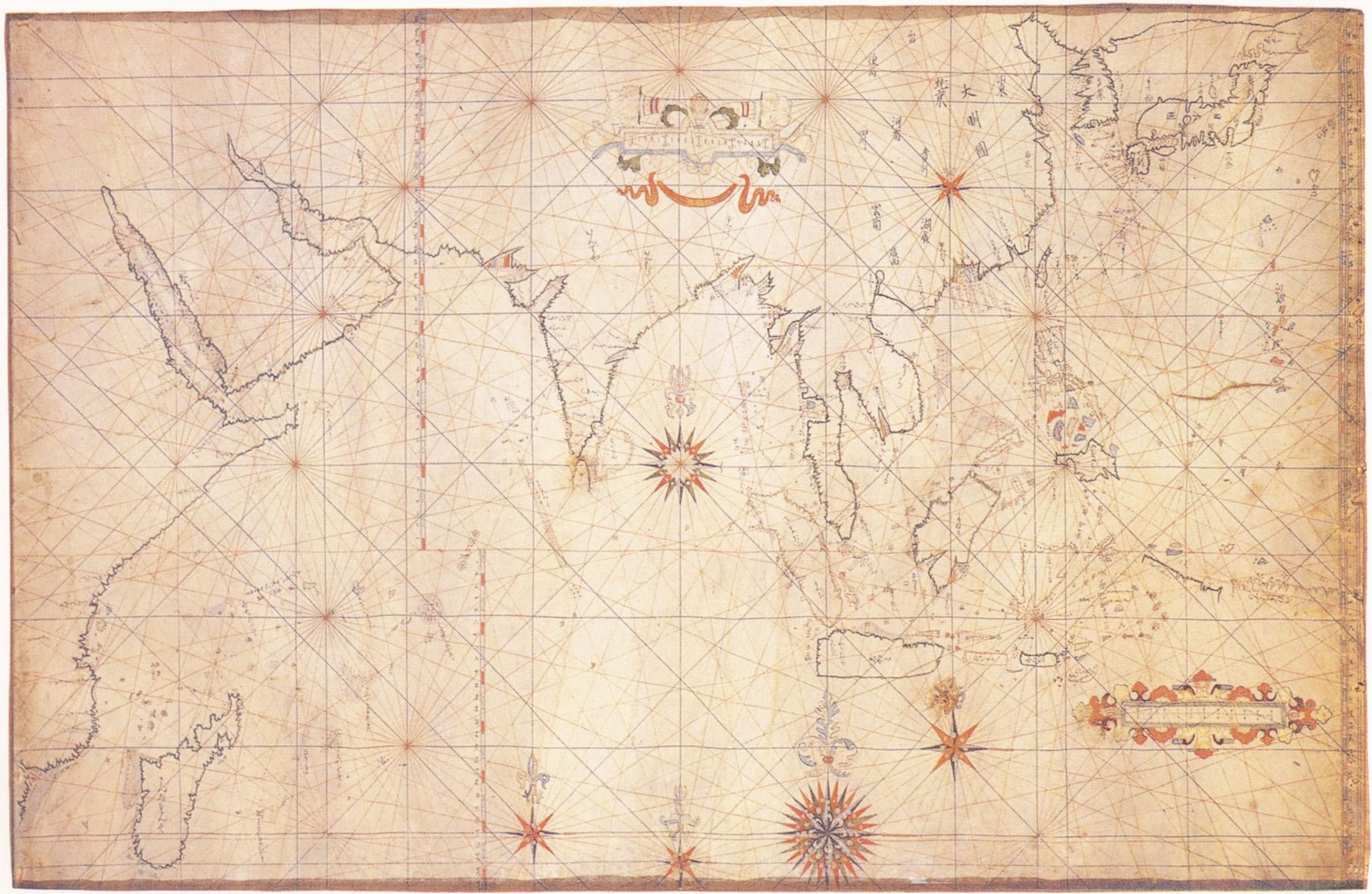
They are big, some of them several megabytes. So be warned. You're browser might not be able to cope with that, but your picture editing program might, so it's better to download those and edit them later. Everything more than 3.17 Mb. doesn't show up in my browser, but does in my picture editor. I plan to put up more, but that might take time. Some of these might make a nice wall decoration. If you have a high quality printer or plotter it will work out fine. Take photo paper, download the picture, edit it in your photo editor and preview the print and then print it in the size you want it. Good luck. The printing process was much different than what it is now. The maps were first etched on copperplates and printed in black and white. Afterwards they were sometimes colored by hand. Since this was a laborious job you could sometimes find in one Atlas several shapes of the same country, since it was too expensive to renew the plates. Also publishers copied freely from each other, since there were no copyrights and they had to rely on what they could get. Therefore the shape is more important than the numbers of different publishers found! |

(This is not a high quality scan, just a picture to show the south on modern
maps)

Handwritten map by Father Andre Kim (Kim Tae Gon, the first Korean Catholic priest, who was executed because of his religion, but managed to make this map in the short time he was in Korea, 1846) (876 Kb) |

Map based on the previous handwritten map. (377 Kb) This one is in yhhr Bulletin de la Societe de Geographie (Paris). Volume 9. Series 4 in 1855. |

Samson d'Abbeville (643 Kb) |

anonymous handwritten map. (349 Kb) |
Jean Baptiste Bourguignon d'Anville (1697-1782) |

bellin1748 (4.18 Mb) |

blaeu detail 1655 (1.12 Mb) |

blaeu impirii sinarum 1655 (915 Kb) |

blaeu xantung sinarum (943 Kb) |

carte des indes hamel type (1.76 Mb) |

china jodocus hondius 1606 (891 Kb) |

china jodocus hondius 1606 colored version (985 Kb) |

china jodocus hondius 1606 (697 Kb) |

Carte von China und Japan den Manen d’Anville’s und Klapproth’s. Posrdam, 1843 (596 Kb) |

danet 1700 (3.41 Mb) |

detail jodocus hondius amsterdam 1606 (1.33 Mb) |

detail johannes jansonius atlas novus 1636 amsterdam (1.02 Mb) |

detail ortelius iaponica insula desciptio (815 Kb) |

Giralamo de Angelis 1623 (1.07 Mb) |

guillaume de l'isle charte des indes et de la chine detail (945 Kb) |

herman moll 1714 (3.33 Mb) |

herrich 1894 verlag von carl fleming (1.06 Mb) |

isaac tirion 1742 amsterdam (1.27 Mb) |

jacques nicolas bellin 1746 (830 Kb) |

jodocus hondius amsterdam 1606 (671 Kb) |

jodocus hondius amsterdam 1606 detail (1.32 Mb) |

john speed kindome of china 1626 (765 Kb) |

korean map (826 Kb) |

R. Hausermann Coree, par les Missionnaires de Coree de la Societe des Missions Etrangeres. Paris, ca 1865? (1.42 Mb.) |
Hendrick Florent van Langren. It's an east-oriented map of East Asia. Amsterdam 1596. This map comes from the Itinerario written by Jan Huygen van Linschoten |

mercator asia atlas duisburg 1595 (1.14 Mb) |

natalius metellus iaponica regnum 1596 (764 Kb) |

ortelius tartaria sive magni chami regni theatrum 1570 (921 Kb) |

ortelius iaponica insula descriptio 1595 (640 Kb) |

ortelius indiae orientalis theatrum 1570 (1.15 Mb) |

ortelius theatrum1570 (1.15 Mb) |

M. Brion de la Tour (1.15 Mb) |

Justus Perthes 1833 (876 Kb) |

pieter goos noord oost kust 1666 (777 Kb) |

ptolemy (538 Kb) |

samuel dun 1794 (1.98 Mb) |

witsen tartary detail (138 Kb) |

tirion 1750 atlas map complete (980 Kb) |

Das Chinesische Reich und das Kaiserthum Japan entworfen und gezeichnet von C. F. Weiland / Weimar im Verlage des Geograph. Instituts 1830. (251 Kb) Carl Ferdinand Weiland (1782-1847) |

Willem Jansz Blaeu Asia Amsterdam 1635 (215 Kb) |
 Detail of M. Brion de la Tour, cartographer of the king (1,21 Mb.) |
 This is the curious backside of the Sanson d'Abbeville map, it contains the genealogy of one or the other family. (980 Kb) |
 Detail of the Sanson d'Abbeville map. (1.2 Mb) |

China and Japan drawn and engraved for Play fairs Geography. Engraved by H. Cooper. (503 Kb.) |

Pinkerton, John (1758-1826) Japan 1809 in: A modern atlas : from the latest and best authorities.. / London, Cadell & Davies,& Longman, Hurst Rees Orme & Brown, 1812 (597 Kb) |
|

"Asia," issued in 1753, London, by Gibson (his name engraved at bottom right). A severely truncated Siberia, the misshapen Japan with a huge erroneous "Land of Jesso". East of this, the speculatively drawn coast of 'Company's Land' suggests Alaska, but would be completely misplaced. Korea as Hamel type. (557 Kb) |

Copperplate engraving from the National Atlas of Geography published 1843 by Alexander Keith Johnston (1804 - 1871): Map of China with an inset of Canton (473 Kb) |

Victor Levasseur Ingenieur Geographe: in Atlas universel illustre. Barbie du Bocage, J G Paris 1846 (530 Kb) |

Lamarche: Siberie, Tartarie chinoise et Isles du Japon. [c.1794] (736 Kb) de Lamarche, Charles Francois (1740-1817). French geographer, publisher, and globe maker. After he became Vaugondy's successor in 1792, Lamarche reissued many of Vaugondy's aliases. |

La Perouse: Chart of discoveries made in 1787 in the Seas of China and Tartary made by the Boussole and Astrolabe (Sheet II), Published by G.G. and J. Robinson.1798 London(404 Kb) |

Edme Mentelle (1730-1815): Carte de l'Empire de la Chine: From the 1804 Atlas des tableaux et cartes (293 Kb) |

J.Migeon Paris, 1874 (610 Kb) |

Moll, Hermann (fl. 1678-1732). A native of Holland, Moll moved to England sometime before 1682. He set up shop in London as a bookseller and map engraver. After the turn of the century he became the premier map publisher in England and soon was an open and effective propagandist for British claims to North America. Moll's bold cartographic style included much detail, and he produced a wide range of maps from miniature to very large, decorated maps with inset plans and illustrations. Much of his work was copied by other publishers. (559 Kb) |

Thomson, J. ‘Corea and Japan’. 1815 (730 Kb) |

A.H.Petermann Gotha, Justa Perthes 1870 (627 Kb) |

J.Thomson Edinburgh, 1817 (649 Kb) |

G.Robert de Vaugondy Paris, 1749 (419 Kb) |
1571 = Oriental India and Japan in Atlas by Fernao |
1613 = Map of Japan viewed from the Indian Ocean, by an |
1634 = Nautical world map, by Jean Guerard (parchment, |
 1649 = Pacific Ocean, by Jose Teixeira Albernas (parchment, 890 x 740 mm) |
 1660 = Indian Ocean, by Pieter Goos (parchment, 715 x 890 mm) |